




Drone roof condition survey
Contents |
[edit] Introduction
A drone roof condition survey is a visual inspection of a roof carried out using a remotely piloted aircraft, in place of or in addition to access by ladder, scaffold, mobile platform or roof-level working. It is used to record the condition of a roof covering and its components where physical access is difficult, hazardous or disruptive.
[edit] Why a roof is surveyed from the air
Roof-level access carries risk and cost. Working at height is a principal cause of serious injury in construction, and roofs are frequently fragile: profiled cement sheets, rooflights, and older coverings may not bear the weight of a person, and falls through fragile roofs remain a recognised hazard. Where a roof is fragile, remote inspection removes the need to place anyone on it at all.
Aerial inspection can also avoid the cost and programme impact of scaffold or mobile access equipment, and can be carried out without disrupting occupation of the building below.
[edit] What it can establish
A drone roof condition survey is a visual exercise. It can typically record the type, layout and general condition of the roof covering; visible deterioration, including corrosion, cracking, splitting, delamination, moss and vegetation growth, ponding and staining; the condition of rooflights, and their apparent number and distribution; gutters, outlets, flashings, upstands and abutments, and visible blockage or damage; existing rooftop plant, penetrations and any previous alterations; and existing photovoltaic installations and their apparent condition.
[edit] What it cannot establish
The limitations are as important as the capability, and should be stated in any report.
It is not a structural assessment. A visual inspection of a covering says nothing about the capacity of the structure beneath it. Establishing whether a roof can carry additional load is a separate exercise requiring member sizes, spans and calculation.
It cannot see what is concealed. The build-up beneath the covering, the deck, the insulation, and the condition of fixings and connections are not visible from above.
It cannot confirm material composition. Where asbestos-containing materials are suspected, this is a matter for an asbestos survey by a competent person, not a visual overflight.
It is weather-dependent. Wind, precipitation and light conditions affect both whether a flight can take place and the quality of what is recorded.
Access is not unrestricted. Airspace restrictions, proximity to people and property, and site permissions all constrain where and how a flight may be undertaken.
[edit] Regulatory framework
In the United Kingdom, the operation of remotely piloted aircraft is regulated by the Civil Aviation Authority. Operators and remote pilots are subject to registration requirements, and the category of operation determines the competency, authorisation and separation distances that apply. Operations close to buildings, uninvolved people or in congested areas are more tightly constrained than those in open country, and may require additional pilot competency or an operational authorisation.
Operators should hold appropriate third-party liability insurance for the operation being undertaken. Landowner permission, site induction and coordination with occupiers are also normally required, independently of the aviation requirements.
[edit] Where it fits
A drone roof condition survey is most useful early, as a means of establishing the state of a roof before decisions are taken, and on portfolios, where it allows a large number of roofs to be reviewed and prioritised before more detailed work is commissioned.
For rooftop solar photovoltaic projects in particular, the condition of the covering and the capacity of the structure are two separate questions. An aerial survey addresses the first. It does not address the second, and should not be presented as doing so. A covering may be sound while the structure beneath it lacks the capacity for an array, and a structure may be adequate while the covering cannot accept a fixing or bear ballast.
[edit] The report
A drone roof condition survey report would normally record the date and conditions of the flight, the extent of the roof covered and anything that could not be inspected, annotated imagery of the observations, a description of the condition found, and the limitations of the method. Where defects are identified, their significance is a matter for interpretation by a suitably qualified person.
[edit] Related articles on Designing Buildings
[edit] External references
- Civil Aviation Authority, guidance on the operation of unmanned aircraft in the United Kingdom.
- Health and Safety Executive, guidance on fragile roofs and working at height.
- The Work at Height Regulations 2005.
- Solar Surveys, roof condition surveys for commercial buildings — an example of the inspection scope and reporting described in this article.
Featured articles
Check out some of the best features and news from Designing Buildings as well as key stories from around the web.

CIOB celebrates positive Ofsted report.

The Building Safety Regulator announces a call for evidence.

Government approach could undermine delivery and regeneration.
World's first mass timber data centre.
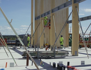
The overlooked environmental aspect of data centre development.
Introduction to radon awareness

New technical information sheet published by CIOB.

Updated supplier guide can help electrical contractors engage with NHP.

CIAT confirm the winners of the 2026 architectural technology awards.
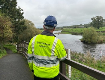
Government launches a one stop shop for flood preparedness.

Sir Edwin Lutyens: Britain's greatest architect? Book review.

CIOB publishes free template to help assess and manage risks.
ECA's reflections on Party Conference season

Burnham wants to be confident of winning before asking for a fresh mandate.
New Chief Construction and Scientific Adviser

Sergio Cavalaro, Professor of Infrastructure Systems at Loughborough University.