


Spatial diagram

A spatial diagram, or spatial plan, can be used to investigate or illustrate the future spatial development of an area. It communicates a development concept as physical spatial elements and demonstrates how extending and developing spatial uses and infrastructure can shape a location, district or region.
The development of spatial diagrams requires imaginative and innovative ideas. Inspiration for developing a spatial diagram is often drawn from the results of other district or regional analysis methods.
A spatial diagram may give indications as to the highest priority areas to be developed, as well as decisions on the settlement pattern for development in the future. Approximate scales are used for the diagram in order to avoid committing to detail. More specific land use plans are developed once a decision has been taken to implement certain elements of a diagram.
A spatial diagram is not constrained by time, but is designed to be a flexible model, capable of providing guidance and information to urban planners and decision-makers in optimising investment. Such investment can encourage and enable economic and social development, and may result in the progressive delivery of the spatial diagram over time.
Investment decisions are often taken, particularly effecting urban centres, with consideration of functional specialisation to avoid too much competition and duplication, which can lead to a decline in markets or services. Spatial diagrams can be used to assist in this planning work, with what is termed a 'settlement pattern'. This indicates issues such as whether or not the economies of the main urban centres are to be further developed or consolidated, whether urban specialisation should be either maintained or encouraged, and so on.
As well as the settlement pattern, information that is often provided on a spatial diagram may include:
- Road networks.
- The land use system.
- Conservation areas.
- Areas where development is to be restricted or controlled.
Some of the benefits of using a spatial diagram include:
- It is a useful method for reviewing proposed development policies and how they may interrelate functionally with ‘space’.
- It provides a framework for guiding an area’s development.
- It can coordinate development activities undertaken by different planning institutions, organisations or departments.
- It can provide guidance to decision-makers and planners about strategic investment decisions.
Some of the limitations of using a spatial diagram include:
- Spatial diagrams do not contain a time line for development.
- The costs and resource mobilisation required are not illustrated, and so, unless previous analytical steps, such as demographic projections and locational evaluations, have been undertaken, the diagram can be misleading.
- There is the risk that spatial diagrams can be interpreted as masterplans, rather than just being used to guide development decisions.
[edit] Related articles on Designing Buildings Wiki
Featured articles
Check out some of the best features and news from Designing Buildings as well as key stories from around the web.
![]()
New and updated CLC building safety guidance.
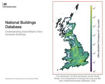
New UK National Buildings Database.
Building Safety Wiki Interviews

Chief executive of the British Woodworking Federation.
Planning condition discharge in England and Wales

A brief explanation from a building compliance expert, with further links.
Overheating guidance and tools for building designers

Guidance for dealing with element of building fabric control that have increasing importance.
Shading for housing, a design guide

From the Good Homes Alliance and British Blind and Shutter Association.
UK Standard Skills Classification (SSC)

A shared framework for describing skills needs.
Social media ban consultation comes to close

CIOB urges UK Government to consider social media’s role in careers guidance in ban debate.
The latest of eight Skills England apprenticeship units

The addition of battery manufacturing welcomed by ECA with a warning about the risks of fast-tracked apprenticeship units.
Building Control Independent Panel final report

A precis of a key report led by Dame Hackitt with full recommendations and link to the government response.
Building Safety recap April, 2026

A short and longer run-through of the month, with links to further information and sources.