





Landscape character area

The term ‘landscape’ refers to an area, as perceived by people, whose character is the result of the action and interaction of natural and/or human factors’ (ref European Landscape Convention).
Landscape character refers to a distinct, recognisable and consistent pattern of elements that makes one landscape different from another.
Landscape Character Types (LCTs) are generic, typically homogenous types of landscape that may occur in different parts of the country. They have similar geology, topography, drainage patterns, vegetation, land use, patterns of settlement and aesthetic character.
For more information see: Landscape character type.
Landscape classification is the process of sorting landscape into different types without attaching relative values to different sorts of landscape.
Landscape Character Areas (sometimes described as Local Landscape Character Areas or Regional Landscape Character Areas), are discrete geographical areas of a particular landscape type with a broadly consistent character, which might include:
- pattern of topography
- land use
- vegetation cover
- geology
- cultural and ecological features
- pattern of evolution
- visual and perceptual qualities
- habitats
A landscape character assessment (LCA) identifies and describes variations in the character of the landscape, explaining the combination of elements and features that make landscapes distinctive by mapping and describing character types and areas. LCAs can be used to inform planning policies, allocate land for development, assess planning applications and make environmental assessments. Ref Landscape Character Assessment Guidance for England and Scotland, The Countryside Agency and Scottish Natural Heritage 2002.
See also: Landscape Character Assessment.
National Character Area (NCA) profile documents explain how environmental evidence and information about places can be accessed and used. They divide England into 159 distinct natural areas defined by a unique combination of landscape, biodiversity, geodiversity, history, and cultural and economic activity. Their boundaries follow natural lines in the landscape rather than administrative boundaries.
[edit] Related articles on Designing Buildings
- Ecological impact assessment.
- Ecological survey.
- Environmental impact assessment.
- Green belt.
- Historic Landscape Characterisation.
- Historic Land-use Assessment.
- In-combination effects.
- Landscape and Visual Appraisal.
- Landscape and Visual Impact Assessment.
- Landscape architect.
- Landscape Character Assessment.
- Landscape character type.
- Landscape quality.
- Local Landscape Area.
- Natural area.
- Sharawadgi.
- Strategic ecology framework SEF.
- Visual impact.
Featured articles
Check out some of the best features and news from Designing Buildings as well as key stories from around the web.
ECA's reflections on Party Conference season

Burnham wants to be confident of winning before asking for a fresh mandate.
New Chief Construction and Scientific Adviser

Sergio Cavalaro, Professor of Infrastructure Systems at Loughborough University.
Building safety levy for England

CIAT publish estimator tool for members.
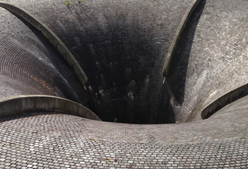
Water sector faces a growing crisis that could slow the delivery of vital infrastructure.
Undervaluing our industrial past
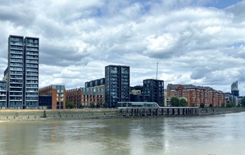
Heritage value changes as taste for building styles changes.
Changing expectations around competence and compliance

New information sheet from CIAT.
Grenfell investigation files passed to CPS

Angela Rayner apologises on behalf of the British state.

Electrical contractors need to understand the practical implications.

The real barrier to getting more value from digital technology.

Your guide to The Construction Reset at UKCW Birmingham.
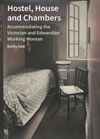
Accommodating the Victorian and Edwardian working woman. Book review.
Rethinking passive fire protection in design

PFP demands the same level of design rigour as structure or services.