




Flood risk management

Contents |
[edit] Introduction
The National planning policy framework (NPPF) considers flood risk to be the combination of the probability and the potential consequences of flooding from all sources, including:
- Rivers and the sea.
- Rainfall.
- Rising groundwater.
- Overwhelmed sewers and drainage systems.
- Reservoirs, canals and lakes.
- Other artificial sources.
For more information, see National planning policy framework NPPF.
Flood risk management can be loosely defined as the analysis, understanding and appropriate actions based on a flood risk assessment that examines the connection between the sources mentioned in the NPPF as well as physical systems and other environmental conditions.
Actions that address the risks posed by flooding may include:
- Flood defence systems.
- Warning and informing systems.
- Relocation of people in high risk areas.
- Spatial planning.
- Floodplain mapping.
Through these activities, flood risk management can help reduce the risk from flooding for those people located in flood zones.
[edit] The Flood and Water Management Act 2010
The Flood and Water Management Act was introduced on 8 April 2010 to implement Sir Michael Pitt’s recommendations following the widespread flooding of 2007 when more than 55,000 homes and businesses were flooded (see Pitt Review).
The Act required better management of flood risk, created safeguards against rises in surface water drainage charges and protected water supplies for consumers. It also gave a new responsibility to the Environment Agency for developing a National Flood and Coastal Risk Management Strategy.
For more information, see Flood and Water Management Act.
[edit] Flood and coastal erosion risk management FCERM
In 2020, the Environment Agency acknowledged the connection between floods and coastal erosion. Its National Flood and Coastal Erosion Risk Management (FCERM) strategy for England defined FCERM as managing the risks of flooding and coastal erosion to people, property and the natural environment through minimising, predicting and managing the risk.
The strategy sought to identify better methods of understanding and managing the risks and consequences of flooding from:
- Rivers.
- The sea.
- Groundwater.
- Reservoirs.
- Ordinary watercourses.
- Surface water.
- Sewers.
- Coastal erosion.
It also instructed Risk Management Authorities (RMAs) involved in FCERM to exercise their plans and activities consistently with the strategy.
For more information, see Risk management authority RMA.
[edit] Related articles on Designing Buildings
- Adaptive pathways.
- Coast protection authorities.
- Coastal groups.
- Drainage and sewerage management plans DSMPs.
- Flood and Water Management Act.
- Flood risk management plans.
- Flood Risk Management (Scotland) Act 2009.
- Habitat Compensation Programme HCP.
- Long-term investment scenarios LTIS.
- National planning policy framework NPPF.
- Outline planning application.
- Risk management authority RMA.
- Shoreline management plans SMPs.
[edit] External resources
Featured articles
Check out some of the best features and news from Designing Buildings as well as key stories from around the web.

Government approach could undermine delivery and regeneration.
World's first mass timber data centre.

The overlooked environmental aspect of data centre development.
Introduction to radon awareness
New technical information sheet published by CIOB.

Updated supplier guide can help electrical contractors engage with NHP.

CIAT confirm the winners of the 2026 architectural technology awards.
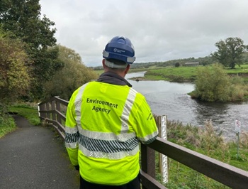
Government launches a one stop shop for flood preparedness.

Sir Edwin Lutyens: Britain's greatest architect? Book review.
CIOB publishes free template to help assess and manage risks.
ECA's reflections on Party Conference season

Burnham wants to be confident of winning before asking for a fresh mandate.
New Chief Construction and Scientific Adviser

Sergio Cavalaro, Professor of Infrastructure Systems at Loughborough University.
Building safety levy for England

CIAT publish estimator tool for members.
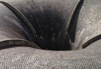
Water sector faces a growing crisis that could slow the delivery of vital infrastructure.