




Floodplain
A floodplain is land adjacent to a watercourse over which water flows or would flow in times of flood, if defences were not in place.
The flood zone area classification system devised by the Environment Agency refers to:
- Flood Zone 1: Land outside the floodplain. There is little or no risk of flooding in this zone.
- Flood Zone 2: The area of the floodplain where there is a low to medium flood risk.
- Flood Zone 3: The area of the floodplain where there is a high risk of flooding.
Ref The HS2 London-West Midlands Environmental Statement, Department for Transport, November 2013.
NB Culvert, screen and outfall manual, (CIRIA C786) published by CIRIA in 2019, defines a floodplain as: ‘Land on either side of a river that is below the highest defined flood level.’
The National Flood and Coastal Erosion Risk Management Strategy for England, Glossary, published by the Environment Agency in 2020, suggests a floodplain is: ‘Land with a high probability of being partly or wholly covered with water during flooding from rivers or the sea – ignoring the presence of flood defences.’
[edit] Related articles on Designing Buildings
- Applying flood resilience technologies GG 84.
- Building flood resilience.
- Catchment flood management plans.
- Coastal defences.
- Dyke.
- Environment Agency.
- Flood.
- Flood and Water Management Act.
- Flood defences.
- Flood insurance.
- Flood mapping key to future development in Wales.
- Flood risk.
- Flood risk assessment.
- Flood risk management plans.
- Floodplain capacity.
- Floodscape.
- Functional floodplain.
- Future flood prevention.
- Pitt Review.
- River engineering.
- Sustainable urban drainage systems.
- Thames barrier.
- Water engineering.
Featured articles
Check out some of the best features and news from Designing Buildings as well as key stories from around the web.

Government approach could undermine delivery and regeneration.
World's first mass timber data centre.

The overlooked environmental aspect of data centre development.
Introduction to radon awareness
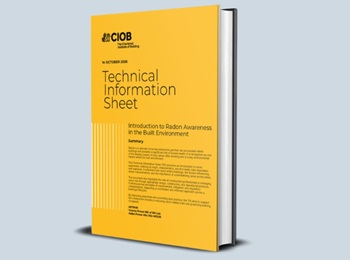
New technical information sheet published by CIOB.

Updated supplier guide can help electrical contractors engage with NHP.

CIAT confirm the winners of the 2026 architectural technology awards.
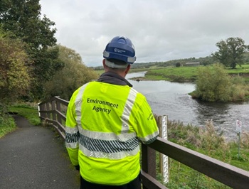
Government launches a one stop shop for flood preparedness.

Sir Edwin Lutyens: Britain's greatest architect? Book review.
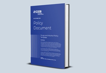
CIOB publishes free template to help assess and manage risks.
ECA's reflections on Party Conference season

Burnham wants to be confident of winning before asking for a fresh mandate.
New Chief Construction and Scientific Adviser

Sergio Cavalaro, Professor of Infrastructure Systems at Loughborough University.
Building safety levy for England

CIAT publish estimator tool for members.
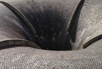
Water sector faces a growing crisis that could slow the delivery of vital infrastructure.