Construction site investigation methods
Contents |
[edit] Introduction
Before construction work commences on site, it is often necessary to undertake a thorough site investigation. Approved document C, Site preparation and resistance to contaminants and moisture, suggests that the extent and level of site investigation should be tailored to the type of development and the previous use of land. A thorough site investigation can remove uncertainties that could have a serious impact on budgeting and risk.
Site investigation can be carried out as a desktop survey or a site survey. There are several resources available to assist with site surveys.
[edit] Historical maps
Libraries can have copies of original land maps. The history of a site can indicate the previous usage and any potential sources of contamination. It can also identify underground obstructions, original boundaries, roads and walkways.
[edit] Ordnance Survey maps
The Ordnance Surveys provides mapping in the UK, giving details of buildings, boundaries, structures, roads and surrounding properties. The maps are available in a range of scales.
[edit] Local authority archives
Local authority archives are a source of historical information which might include old maps, photographs, street records and other information.
Local authorities may also have a planning application database from which historical data for a site can be accessed and previous planning applications for the area can be viewed. This might provide information about existing or previous proposals for the site and any planning conditions or restrictions that might apply.
[edit] Aerial photographs
Specialist contractors can produce scaled photographs for potential sites.
[edit] Online methodologies
Online satellite maps are now readily available and it has become easier to access aerial photographs of potential sites. The maps can help with topographical details, and heights and levels can be established from shadows. The maps can also be used to establish potential tree preservation orders, floodplains and so on.
An online address search can also reveal historical data about historical property values, previous usage of the site and any existing investigation reports.
[edit] Laser scanning
Laser scanning is a method of collecting surface data using a laser scanner which captures the precise distance of densely-scanned points over a given object at rapid speed. The process is commonly referred to as a point cloud survey or as light detection and ranging (LIDAR, a combination of the words 'light' and 'radar'). It can be used to generate 3D imagery that can be converted for use in 3D computer aided design (CAD) modelling or building information modelling (BIM).
For more information see: Laser scanning.
[edit] Site inspections
A physical visit to site will be required to carry out site investigations. Items that can be missed on aerial maps might be; trees and hedges, boundaries, services, including pylons and phone lines and any other site obstructions. More detailed site investigations will include soil analysis which will be carried out to establish the soil characteristics that will be required for designing the sub-structure. Trial pits will be used to gather samples that will be sent off for analysis.
For more information see: Site surveys.
[edit] Related articles on Designing Buildings Wiki
- Conceptual site model.
- Contaminated land.
- Desk study.
- Development appraisal.
- Ground conditions.
- Ground investigation.
- Insitu testing of soils.
- Laser scanning.
- Pre construction information.
- Radon.
- Site appraisal.
- Site information.
- Site selection and acquisition.
- Site surveys.
- Soil survey.
- Technical due diligence.
[edit] External references
- BTEC National Construction, Pearson
Featured articles and news
Managing building safety risks
Across an existing residential portfolio, a client's perspective.
ECA support for Gate Safe’s Safe School Gates Campaign.
Core construction skills explained
Preparing for a career in construction.
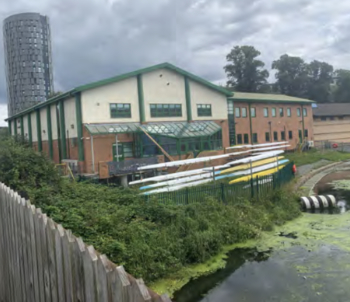
Retrofitting for resilience with the Leicester Resilience Hub
Community-serving facilities, enhanced as support and essential services for climate-related disruptions.
Some of the articles relating to water, here to browse. Any missing?
Recognisable Gothic characters, designed to dramatically spout water away from buildings.
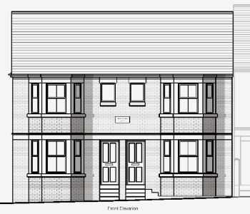
A case study and a warning to would-be developers
Creating four dwellings... after half a century of doing this job, why, oh why, is it so difficult?
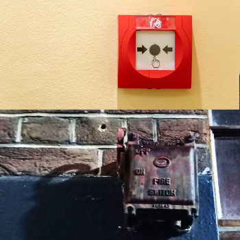
Reform of the fire engineering profession
Fire Engineers Advisory Panel: Authoritative Statement, reactions and next steps.
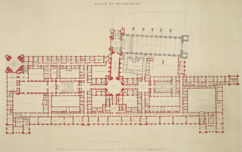
Restoration and renewal of the Palace of Westminster
A complex project of cultural significance from full decant to EMI, opportunities and a potential a way forward.
Apprenticeships and the responsibility we share
Perspectives from the CIOB President as National Apprentice Week comes to a close.
The first line of defence against rain, wind and snow.
Building Safety recap January, 2026
What we missed at the end of last year, and at the start of this...
National Apprenticeship Week 2026, 9-15 Feb
Shining a light on the positive impacts for businesses, their apprentices and the wider economy alike.
Applications and benefits of acoustic flooring
From commercial to retail.
From solid to sprung and ribbed to raised.
Strengthening industry collaboration in Hong Kong
Hong Kong Institute of Construction and The Chartered Institute of Building sign Memorandum of Understanding.
A detailed description from the experts at Cornish Lime.


