Real time kinematic RTK
Contents |
[edit] Introduction
Real time kinematic (RTK) is a surveying technology used by drones to make real time corrections to images captured by global positioning systems (GPS) and other Global Navigation Satellite Systems (GNSS). The other type of correction technology is known as post processed kinematic or PPK, which corrects location data after it has been collected and uploaded.
[edit] Correction technology background
Both RTK and PPK GPS correction technologies are effective at capturing pinpoint location information. They are believed to be improvements over the use of ground control points (GCPs), which is the traditional method of capturing this information. A GCP is a location or object with known coordinates that is used as a reference point for surveying purposes.
Both forms of GPS correction technology are incorporated directly into drone equipment.
[edit] Capabilities of RTK
RTK technology is suitable for flat areas where obstructions are minimal. This is important, since trees, mountains or other projects can disrupt communications. Since RTK relays information in real time, it requires reliable connectivity in order to send the information steadily. An interrupted connection can disrupt the data capture and transmission process and create gaps.
It is possible for an RTK user to obtain 2 cm level positioning in plan, and even better if they are careful. With RTK, the distance from the reference station can have an impact on the final positional accuracy that can be achieved.
[edit] Networked RTK
A technique known as networked RTK has developed which links together data from a number of dual frequency GPS receivers in real time – providing RTK correction solution or a regional differential code GPS (dGPS). Examples of networked RTK systems are the commercial services built on the Ordnance Survey OS Net™ national GPS infrastructure.
Non-networked RTK relies on a single base-station receiver and a number of mobile units. However, with networked RTK there is no need to set up a local base station and the accuracy is not dependent on the base-to-rover receiver distance. This can sometimes result in cost savings measures.
[edit] Related articles on Designing Buildings
- Construction drones.
- Geographic information system GIS.
- Geospatial.
- Global positioning systems and global navigation satellite systems.
- Ground control point GCP.
- Interview with Elly Ball, co-founder Get Kids into Survey.
- Land surveying.
- Post processed kinematic PPK.
- Surveying instruments.
- Uses of drones in construction.
- Using satellite imagery to monitor movements in megaprojects.
Featured articles and news
A case study and a warning to would-be developers
Creating four dwellings... after half a century of doing this job, why, oh why, is it so difficult?
Reform of the fire engineering profession
Fire Engineers Advisory Panel: Authoritative Statement, reactions and next steps.
Restoration and renewal of the Palace of Westminster
A complex project of cultural significance from full decant to EMI, opportunities and a potential a way forward.
Apprenticeships and the responsibility we share
Perspectives from the CIOB President as National Apprentice Week comes to a close.
The first line of defence against rain, wind and snow.
Building Safety recap January, 2026
What we missed at the end of last year, and at the start of this...
National Apprenticeship Week 2026, 9-15 Feb
Shining a light on the positive impacts for businesses, their apprentices and the wider economy alike.
Applications and benefits of acoustic flooring
From commercial to retail.
From solid to sprung and ribbed to raised.
Strengthening industry collaboration in Hong Kong
Hong Kong Institute of Construction and The Chartered Institute of Building sign Memorandum of Understanding.
A detailed description from the experts at Cornish Lime.
IHBC planning for growth with corporate plan development
Grow with the Institute by volunteering and CP25 consultation.
Connecting ambition and action for designers and specifiers.
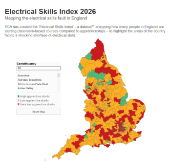
Electrical skills gap deepens as apprenticeship starts fall despite surging demand says ECA.
Built environment bodies deepen joint action on EDI
B.E.Inclusive initiative agree next phase of joint equity, diversity and inclusion (EDI) action plan.
Recognising culture as key to sustainable economic growth
Creative UK Provocation paper: Culture as Growth Infrastructure.


