Location plan
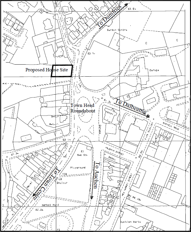
A location plan is a supporting document that may be required by a planning authority as part of a planning application. This may be in addition to a site plan and/or a block plan.
A location plan provides an illustration of the proposed development in its surrounding context. This enables the planning authority to properly identify the land to which the application refers, and is typically based on an up-to-date Ordnance Survey (or similar) map.
A location plan should use an identified standard metric scale, typically 1:1250 or, for larger sites, 1:2500, and generally fits onto an A4 size sheet when printed. It is important that the plan indicates the direction of North, to make its orientation clear.
The plan will typically illustrate the following:
- Roads and/or buildings on adjoining land.
- The site boundaries.
- Land necessary to carry out the proposed development (outlined in red).
- Any other land owned by the developer that is close to or adjacent to the site (outlined in blue).
A location plan is different to a site plan which is specifically focused on providing more detail of the development within the site boundaries, or a block plan which may give a slightly wider illustration of the immediate area surrounding the site.
[edit] Find out more
[edit] Related articles on Designing Buildings Wiki
Featured articles and news
A case study and a warning to would-be developers
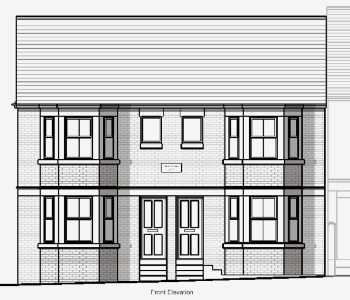
Creating four dwellings... after half a century of doing this job, why, oh why, is it so difficult?
Reform of the fire engineering profession
Fire Engineers Advisory Panel: Authoritative Statement, reactions and next steps.
Restoration and renewal of the Palace of Westminster
A complex project of cultural significance from full decant to EMI, opportunities and a potential a way forward.
Apprenticeships and the responsibility we share
Perspectives from the CIOB President as National Apprentice Week comes to a close.
The first line of defence against rain, wind and snow.
Building Safety recap January, 2026
What we missed at the end of last year, and at the start of this...
National Apprenticeship Week 2026, 9-15 Feb
Shining a light on the positive impacts for businesses, their apprentices and the wider economy alike.
Applications and benefits of acoustic flooring
From commercial to retail.
From solid to sprung and ribbed to raised.
Strengthening industry collaboration in Hong Kong
Hong Kong Institute of Construction and The Chartered Institute of Building sign Memorandum of Understanding.
A detailed description from the experts at Cornish Lime.
IHBC planning for growth with corporate plan development
Grow with the Institute by volunteering and CP25 consultation.
Connecting ambition and action for designers and specifiers.
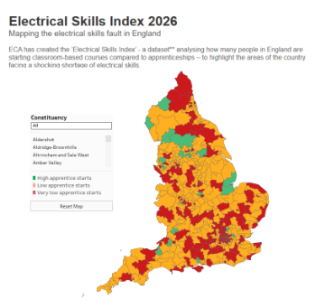
Electrical skills gap deepens as apprenticeship starts fall despite surging demand says ECA.
Built environment bodies deepen joint action on EDI
B.E.Inclusive initiative agree next phase of joint equity, diversity and inclusion (EDI) action plan.
Recognising culture as key to sustainable economic growth
Creative UK Provocation paper: Culture as Growth Infrastructure.












Comments
Q: Can I ask for the author's name?
A: https://www.designingbuildings.co.uk/wiki/Citing_an_article_on_Designing_Buildings