Isopach
Deposit Modelling and Archaeology, Guidance for Mapping Buried Deposits, published by Historic England on 31 January 2020, suggests that an isopach is: ‘A line (contour) joining points of equal value. An isopach map is a contour map illustrating thickness variations within a sediment body over an area.’
It is sometimes used to refer to: ‘…both its correct meaning, the perpendicular distance between the upper and lower boundary of a stratigraphic unit (true stratigraphic thickness), and the vertical thickness of a deposit (true vertical thickness, which is correctly displayed as an isochore map).’
[edit] Related articles on Designing Buildings Wiki
Featured articles and news
Inspiring the next generation to fulfil an electrified future
Technical Manager at ECA on the importance of engagement between industry and education.
Repairing historic stone and slate roofs
The need for a code of practice and technical advice note.
Environmental compliance; a checklist for 2026
Legislative changes, policy shifts, phased rollouts, and compliance updates to be aware of.
UKCW London to tackle sector’s most pressing issues
AI and skills development, ecology and the environment, policy and planning and more.
Managing building safety risks
Across an existing residential portfolio; a client's perspective.
ECA support for Gate Safe’s Safe School Gates Campaign.
Core construction skills explained
Preparing for a career in construction.
Retrofitting for resilience with the Leicester Resilience Hub
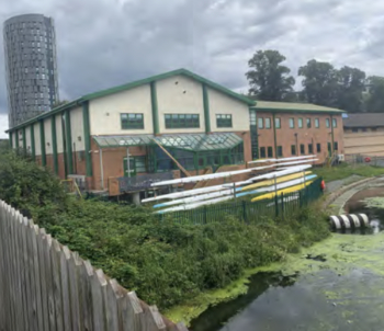
Community-serving facilities, enhanced as support and essential services for climate-related disruptions.
Some of the articles relating to water, here to browse. Any missing?
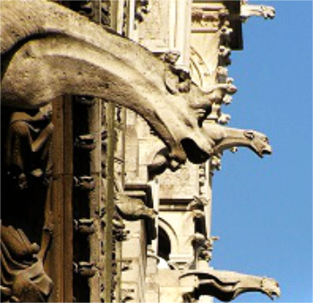
Recognisable Gothic characters, designed to dramatically spout water away from buildings.
A case study and a warning to would-be developers
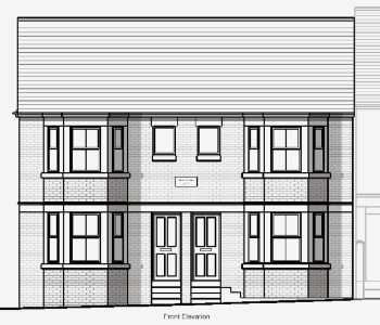
Creating four dwellings... after half a century of doing this job, why, oh why, is it so difficult?
Reform of the fire engineering profession
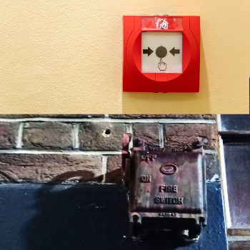
Fire Engineers Advisory Panel: Authoritative Statement, reactions and next steps.
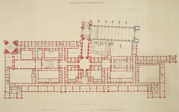
Restoration and renewal of the Palace of Westminster
A complex project of cultural significance from full decant to EMI, opportunities and a potential a way forward.
Apprenticeships and the responsibility we share
Perspectives from the CIOB President as National Apprentice Week comes to a close.
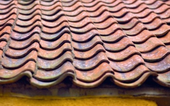
The first line of defence against rain, wind and snow.
Building Safety recap January, 2026
What we missed at the end of last year, and at the start of this.


