





Universal transverse mercator projection

Landsat is a joint mission of NASA and the U.S. Geological Survey (USGS) and is a part of the National Land Imaging (NLI) Program.
The Landsat glossary defines universal transverse mercator (UTM) projection as: “A widely used map projection that employs a series of identical projections around the world in the mid-latitude areas, each spanning six degrees of longitude and oriented to a meridian. This projection is characterised by its conformality; that is, it preserves angular relationships and scale and it easily allows a rectangular grid to be superimposed on it. Many worldwide topographic and planimetric maps at scales ranging between 1:24,000 and 1:250,000 use this projection.”
[edit] Related articles on Designing Buildings
Featured articles
Check out some of the best features and news from Designing Buildings as well as key stories from around the web.

New, more proportionate and targeted approach for higher-risk building assessments.

Government brings British Steel into public ownership.

UKCW Birmingham returns with bold new theme and focus.

New guidance published on competence requirements for self-certification schemes.
Construction Management, 8 July

NEETs crisis drives interest in trades, but apprenticeships barriers remain.
Passive fire protection webinar

MEP services penetration seals.

Where its at podcast (and video) - The role of the Architectural Technologist as an Expert Witness.
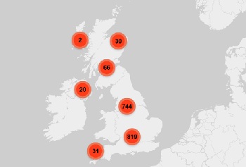
More than 200 remarkable buildings added to SAVE’s Buildings at Risk register.

Government scraps pre-application consultation for Nationally Significant Infrastructure Projects.
Historic England and infrastructure
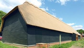
New projects offer opportunities for the historic environment and local communities.
Construction Management, 2 July

Construction deaths halve in two years.

Green Book changes to drive investment in all parts of UK.