





Geological maps
Deposit Modelling and Archaeology, Guidance for Mapping Buried Deposits, published by Historic England on 31 January 2020, suggests that: ‘Geological maps produced by the British Geological Survey (BGS) are deposit models in their own right. Until the relatively recent past, the emphasis of geological mapping was placed on the detailed understanding of economically-significant deposits rather than the superficial sediments. Therefore, not all Quaternary sediments have been recorded and mapped in detail, although they may be of significant archaeological interest.’
[edit] Related articles on Designing Buildings Wiki
Featured articles
Check out some of the best features and news from Designing Buildings as well as key stories from around the web.

Updated supplier guide can help electrical contractors engage with NHP.

CIAT confirm the winners of the 2026 architectural technology awards.
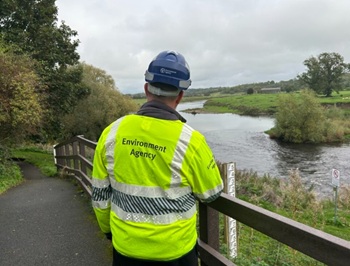
Government launches a one stop shop for flood preparedness.

Sir Edwin Lutyens: Britain's greatest architect? Book review.

CIOB publishes free template to help assess and manage risks.
ECA's reflections on Party Conference season

Burnham wants to be confident of winning before asking for a fresh mandate.
New Chief Construction and Scientific Adviser

Sergio Cavalaro, Professor of Infrastructure Systems at Loughborough University.
Building safety levy for England

CIAT publish estimator tool for members.
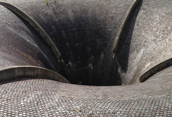
Water sector faces a growing crisis that could slow the delivery of vital infrastructure.
Undervaluing our industrial past
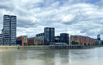
Heritage value changes as taste for building styles changes.
Changing expectations around competence and compliance

New information sheet from CIAT.
Grenfell investigation files passed to CPS

Angela Rayner apologises on behalf of the British state.