




Cadastre
Land measurement for planning and development purposes, Guidance Note, Global 1st edition, Published by the Royal Institution of Chartered Surveyors (RICS) in May 2021, suggests: ‘The term cadastre is used differentially. For example, it may be used to refer to the mensuration of individual land parcels by land surveyors, or to refer to the systematic aggregation of all the cadastral surveys into a land information/administration database system. It is also used to refer to the agencies of state responsible for cadastre and its regulation… Cadastre helps to provide those involved in land transactions with relevant information, and also helps to improve the efficiency of those transactions and security of tenure in general.’
The Geospatial Glossary, published by the Geospatial Commission, and accessed on 17 September 2022, defines a cadastre or cadaster as: ‘…a comprehensive land recording of the real estate or real property’s metes-and-bounds of a country.’
See also: Cadastral parcel.
[edit] Related articles on Designing Buildings
Featured articles
Check out some of the best features and news from Designing Buildings as well as key stories from around the web.

Bringing together expertise and creating cultural benefits.

CIOB celebrates positive Ofsted report.

The Building Safety Regulator announces a call for evidence.

Government approach could undermine delivery and regeneration.
World's first mass timber data centre.

The overlooked environmental aspect of data centre development.
Introduction to radon awareness
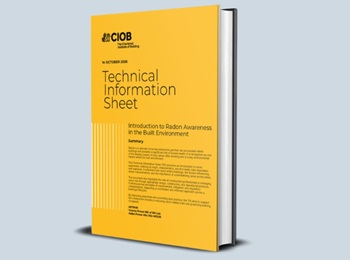
New technical information sheet published by CIOB.

Updated supplier guide can help electrical contractors engage with NHP.

CIAT confirm the winners of the 2026 architectural technology awards.

Government launches a one stop shop for flood preparedness.

Sir Edwin Lutyens: Britain's greatest architect? Book review.

CIOB publishes free template to help assess and manage risks.
ECA's reflections on Party Conference season

Burnham wants to be confident of winning before asking for a fresh mandate.