




Conurbation

|
| The West Midlands Built-Up Area as at the 2011 Census, with overlay of the 2007 Travel to Work Areas. Cities are highlighted in orange, and towns with local authority districts named after them highlighted in green. Source. |
The term ‘conurbation’ refers to: 'A region comprising a number of cities, large towns and other urban areas that, through population growth and physical expansion, have merged to form one continuous urban and industrially developed area.' Ref The HS2 London-West Midlands Environmental Statement, published by the Department for Transport in November 2013.
Spatial development glossary, European Conference of Ministers responsible for Spatial/Regional Planning (CEMAT), Territory and landscape, No. 2, published by Council of Europe Publishing in 2007, states: ‘A conurbation is an aggregation or continuous network of urban communities which have physically merged through population growth and expansion. It is a polycentric form of agglomeration. Physical proximity and continuity of built-up areas are a prerequisite for the definition of a conurbation, which does not exclude that interstitial open spaces may also exist. Conurbations generally developed during the industrial revolution when settlements were built up in areas with significant raw materials (especially mines) or along coastal strips (between the shore line and the mountains in the hinterland).’
[edit] Related articles on Designing Buildings
Featured articles
Check out some of the best features and news from Designing Buildings as well as key stories from around the web.

The Building Safety Regulator announces a call for evidence.

Government approach could undermine delivery and regeneration.
World's first mass timber data centre.

The overlooked environmental aspect of data centre development.
Introduction to radon awareness
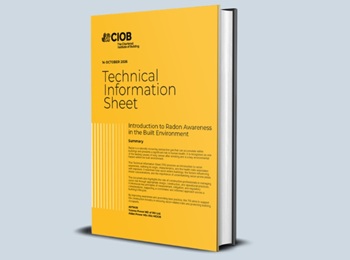
New technical information sheet published by CIOB.

Updated supplier guide can help electrical contractors engage with NHP.

CIAT confirm the winners of the 2026 architectural technology awards.
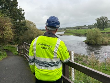
Government launches a one stop shop for flood preparedness.
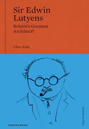
Sir Edwin Lutyens: Britain's greatest architect? Book review.
CIOB publishes free template to help assess and manage risks.
ECA's reflections on Party Conference season

Burnham wants to be confident of winning before asking for a fresh mandate.
New Chief Construction and Scientific Adviser

Sergio Cavalaro, Professor of Infrastructure Systems at Loughborough University.
Building safety levy for England

CIAT publish estimator tool for members.