


Measured survey
Land measurement for planning and development purposes, Guidance Note, Global 1st edition, Published by the Royal Institution of Chartered Surveyors (RICS) in May 2021, states: ‘A measured survey is carried out using precise surveying equipment that can measure and fix position, linear dimensions and shape. This may be achieved using equipment that measures angles and distances, such as an electronic theodolite/total station, or that fixes coordinates using satellites (GNSS). Drones are increasingly being employed for this purpose. The specification for undertaking the survey and the output accuracy should be fully understood.’
[edit] Related articles on Designing Buildings Wiki
Featured articles
Check out some of the best features and news from Designing Buildings as well as key stories from around the web.
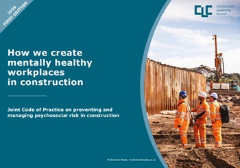
CLC publishes Mental Health Joint Code of Practice.
A quick introduction to its uses and risks.
Construction Management, 17 June

Government rolls out digital planning tool to all local authorities.

Your views needed - a strategy for the professions, trades and occupations.

Confronting competency, codes, capacity and costs.

The hidden risk in modern construction supply chains.
Construction Management, 10 June

24 months to 14: CITB launches accelerated apprenticeships.
Bridging the gap between clients and contractors

Concerns remain around contractor quality, capability, and delivery.
Construction Management, 10 June.
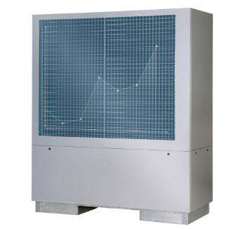
Heat pumps beat boilers in new home tests.
Building Safety Act implementation in Wales

CIAT to host industry panel on 26 June.
![]()
New and updated CLC building safety guidance.