





Featured articles
Check out some of the best features and news from Designing Buildings as well as key stories from around the web.
The construction industry urgently needs to attract new talent
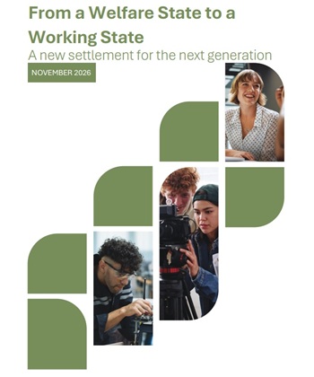
CIOB responds to Neets report.
Grenfell Tower community update

Memorial columns to be retained as careful dismantling continues.
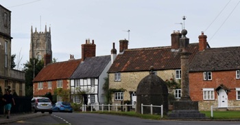
When buildings reflected the local resources available.

CIOB reports 57% are using artificial intelligence technologies.

More of England’s ‘hidden heroes’ will be celebrated.

CIAT calls for retrofit to be a priority.
Version 6 is now available, along with guidance for ECA members.
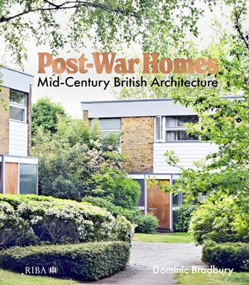
Post-War Homes: mid-century British architecture. Book review.

CIAT reflects on the party conferences.

CIOB announce the winners of the Art of Building photography competition.

National Scheme of Delegation introduced.
The cost of employing people remains a concern.