





Featured articles
Check out some of the best features and news from Designing Buildings as well as key stories from around the web.
The cost of employing people remains a concern.
Code of Practice for Electrical Energy Storage Systems.

ECA calls on members to comment on draft 4th edition.

Bringing together expertise and creating cultural benefits.

CIOB celebrates positive Ofsted report.

The Building Safety Regulator announces a call for evidence.

Government approach could undermine delivery and regeneration.
World's first mass timber data centre.
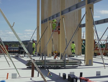
The overlooked environmental aspect of data centre development.
Introduction to radon awareness
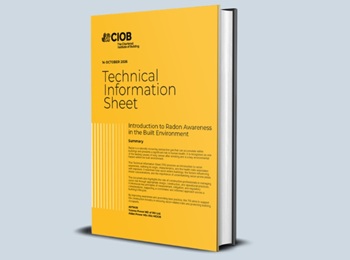
New technical information sheet published by CIOB.

Updated supplier guide can help electrical contractors engage with NHP.

CIAT confirm the winners of the 2026 architectural technology awards.
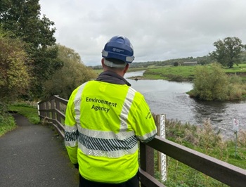
Government launches a one stop shop for flood preparedness.
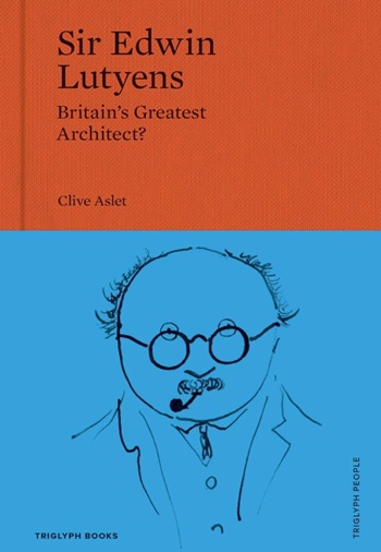
Sir Edwin Lutyens: Britain's greatest architect? Book review.