


Cartogram
The Geospatial Glossary, published by the Geospatial Commission, and accessed on 17 September 2022, defines a cartogram as: ‘…a map in which some thematic mapping variable – such as travel time, population, or GNP – is substituted for land area or distance. The geometry or space of the map is distorted, sometimes extremely, in order to convey the information of this alternate variable.’
[edit] Related articles on Designing Buildings
Featured articles and news
Scottish Government action to reach net-zero targets

Retrofit expert group highlight critical actions needed.

A forward thinking, inclusive global community of members.

From engineered product life-spans, to their extension.
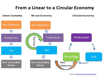
Circular economy in the built environment
A brief description from 2021. Where are we now?
Mental Health Awareness Week with ABS

Architects Benevolent Society programme of activity.
CLC publishes domestic retrofit competency framework
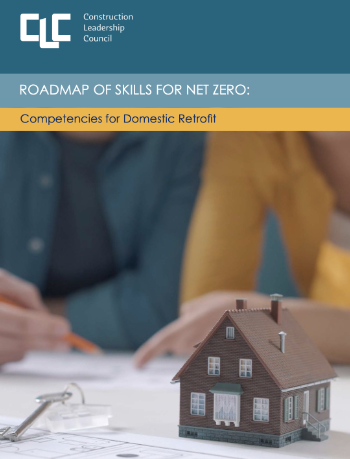
Roadmap of Skills for net zero.

May 13-19: Moving more for our mental health.

Understanding is key to conservation.
Open industry engagement survey seeks responses

Institutions and the importance of engagement.
National Retrofit Hub unveils new guide
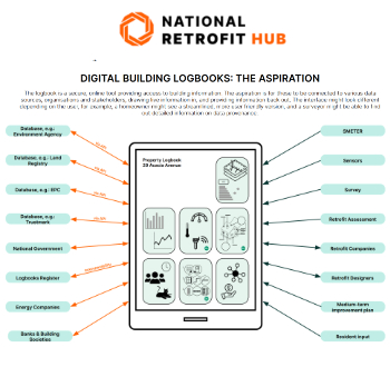
Digital Building Logbooks and Retrofit: An Introduction.
Enhancing construction site reporting efficiency

Through digitisation and the digital revolution.
Noise in the built environment
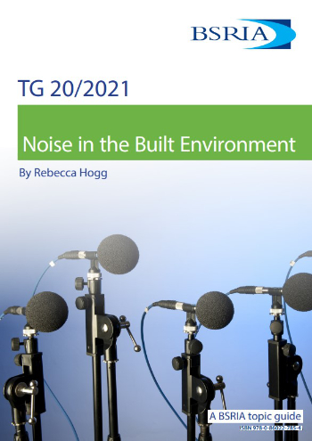
BSRIA guide TG 20/2021.

17,000 people suffer conditions as a result of exposure to excessive noise at work.
Turning down the noise: Auditory health

A pervasive risk with far-reaching consequences.
Getting the most out of heat pumps and heating

How heat pumps work and how they work best.

Electrotechnical excellence, now open for entries.